Making Landfall, Guadeloupe
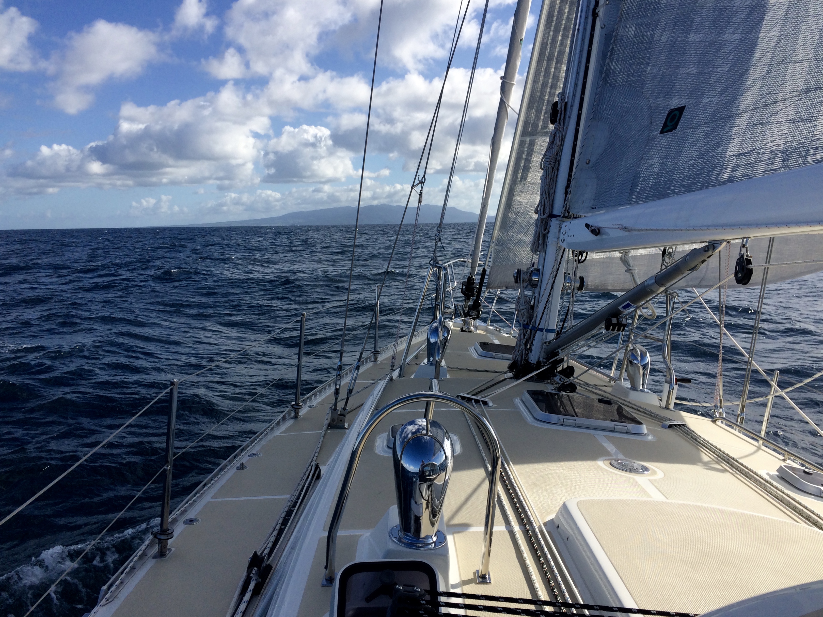
Approaching Guadeloupe today, we were struck by how much we enjoyed making landfall – especially a new one! At first, you might identify an island’s location by the cumulus clouds forming above, due to the rising warm, tropical air over the terrain. Since Guadeloupe is a volcanic island, we were able to see BasseTerre (perhaps mis-named, since it’s quite high) as we departed Antigua some 40 miles north; Guadeloupe appeared as a grey silhouette on the horizon, merged with clouds. As we approached, naturally the island grew, but we’ve determined that we can start seeing an island’s colors at about 12 miles distance. We practiced last week on other islands – St Eustatia, St Kitts, Nevis, Montserrat and Antigua. As you approach, that small gray silhouette takes shape, and you can see contours, headlands, colors, and eventually fields, forests, towns, buildings and roads. We were amazed and delighted as we came around the headland that protects Baie de Deshaies. The dramatic coastline suddenly opened to reveal a beautiful bay enclosed within, protected like a pearl in an oyster. As we approached the anchorage, the church bells ashore beckoned us in, while the sun set on our stern. Welcome to Guadeloupe!